.webp&w=1920&q=82)
.webp&w=1920&q=82)
.webp&w=1920&q=82)
.webp&w=1920&q=82)
.webp&w=1920&q=82)
.webp&w=1920&q=82)
.webp&w=1920&q=82)
.webp&w=1920&q=82)
.webp&w=1920&q=82)
Cachoeira Grande do Amapá
Cachoeira Grande
A rapids attraction in northern Amapá, near the BR-156 corridor and between the territorial reference points of Amapá and Calçoene.
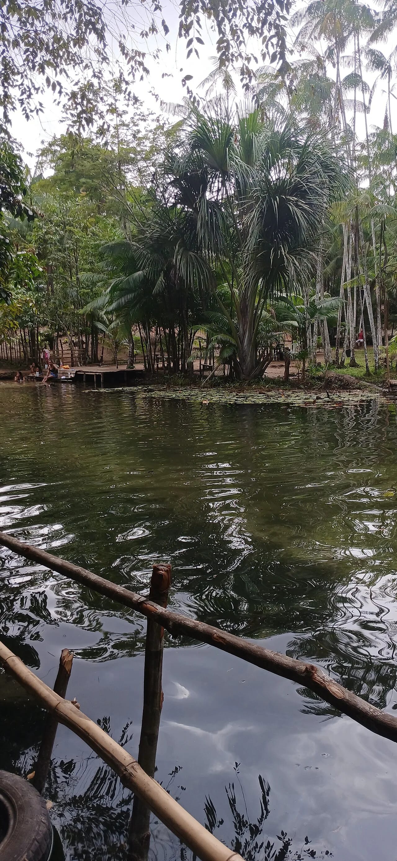
In northern Amapá, Cachoeira Grande brings together clear rapids, dark rock slabs, and riparian forest in a raw-nature pause near the BR-156 corridor.
Water divides into veils and white rapids across a dark rocky platform, framed by vegetation along the banks. During the season of greater flow, water covers part of the rocks; in the regional dry season, more of the slab emerges, revealing different lines for photography. This is a place to arrive slowly, observe the river's force, and treat every stretch as a safety decision.
🤔 Why does it matter?
Cachoeira Grande broadens the nature itinerary in the northern part of the state with a simple, lightly developed experience: swim only when conditions allow, read the landscape, and connect with the Amazonian interior beyond the more structured circuits.
📍 What to see
- Veils of water shaped by the current over rock.
- The contrast between the dark riverbed and the foam of the rapids.
- Riverside vegetation tracing the banks.
- Changes in the waterfall's outline according to water flow.
🎒 Things to do
- Observe the current, the rock's grip, and the way out from the bank before approaching the water.
- Photograph from stable ground, paying attention to the surface underfoot and side light.
- Swim only in an area examined at the time of the visit.
- Bring snacks and drinking water, and carry your own waste back out.
✨ Recommended experiences
- A half-day stop for contemplation, photographs, and a self-provided snack, unhurried and without relying on on-site services.
- A road itinerary between Amapá and Calçoene, combining the waterfall with an urban visit or an attraction confirmed in advance.
- A photography outing during the regional dry season, prioritizing a daytime survey of the bank and the return route.
🍽️ Local cuisine
🎶 Soundtrack
- Rodas de Marabaixo — Lorrany Mendes
- Meu Cavaleiro — Gabriely Azevedo
- Meu coração é Teu — Adelson Preto
🎭 Local culture
🌿 Nature nearby
🌎 Biomes
🏞️ Natural features
🐾 Possible animals in the area
🌱 Possible plants in the area
📅 Best time to visit
August through November tends to favor viewing the rock slab and traveling with less regional rainfall, but road and water conditions should be checked close to the visit.
- ✅ Best time:
- August through November.
- 🟡 Shoulder season:
- After recent rain, when more water is in view, but rocks are slicker and channels may be stronger.
- 🔴 Less recommended:
- December through July, the region's rainier phase, with a greater chance of plans changing.
- 📝 Notes:
- This recommendation is climatic and regional; it does not replace an assessment of rain, flow, road conditions, and safety on the day itself.
🧭 Getting there
🏙️ Base city: Amapá, with Calçoene as an alternative urban support base.
✈️ Airport: Macapá–Alberto Alcolumbre International Airport, in Macapá.
- From Macapá, BR-156 is the main road corridor toward the north of the state.
- On the stretch near the attraction, confirm the correct entrance, access road, and travel time with local sources on the same day.
- The available coordinate is for map approximation only and does not replace a current route.
🚗 Local transportation
- A private or hired vehicle is the most prudent option for the final stretch.
- Plan for fuel, offline maps, and arrival while there is still daylight.
- Do not rely exclusively on cell signal for navigation or emergencies.
ℹ️ Practical information
- 🏗️ Infraestrutura:
- Independent travel; not confirmed
- 🏨 Hospedagem:
- There is simple lodging in the urban centers of Amapá and Calçoene; no structured overnight stay has been confirmed at the waterfall.
- 🍴 Diet:
- No food or drink sales have been confirmed at the attraction; bring supplies and restock in town.
- 🧭 Guides and agencies:
- No current public list of guides or agencies specifically linked to Cachoeira Grande was found; consult municipal channels and local operators.
- 📶 Internet and signal:
- Phone and data coverage has not been confirmed at the site; organize the visit as though you will be without connection.
- 💰 Estimated cost:
- No admission fee, maintenance fee, or payment method has been publicly confirmed; budget for transport, fuel, food, and any local guide service.
- 📝 Notes:
- Restrooms, parking, lifeguards, emergency assistance, and signage were not confirmed by a current source.
♿ Acessibilidade
Level: consult local operators
No reliable description was found of an accessible route, even surface, adaptive equipment, or inclusive assistance at the attraction.
- Do not assume access for wheelchairs or reduced mobility.
- Check the road stretch and approach to the bank in advance.
- Bring a companion when assistance is needed on uneven terrain.
⚠️ Safety
🚨 Real risks
- Wet, slippery rock
- Current and channels of variable strength
- Rapid changes in flow after rain
- Rural route with no confirmed services
✅ Recommended care
- Wear closed footwear secured to your feet, with good grip.
- Keep children under uninterrupted supervision.
- Do not cross channels or enter water of unknown depth or current.
- Avoid alcohol before walking on the rock slab or entering the water.
- Share your itinerary with someone and return before dark.
⛔ When to avoid: Avoid visiting during heavy rain, a noticeable rise in water level, an entrance without local confirmation, low visibility, or a lack of safe conditions for returning.
📝 Checklist — what to bring
- Footwear with good grip
- Enough drinking water
- Snack and waste bag
- Sunscreen, cap, and insect repellent
- Towel, dry clothes, and dry bag
- Offline map and planned fuel
- Basic first-aid kit
✈️ Travel tips
- Confirm the route with residents, guides, or municipal authorities before leaving town.
- Visually assess the bank before setting aside time to swim.
- Keep your hands free on wet sections and distribute backpack weight well.
- Take photographs without bringing equipment close to edges or slippery spots.
- Do not use soap, detergent, or any product in the water.
💡 Curiosidades
- Public references are not consistent about the municipality associated with the waterfall, though they consistently place it in northern Amapá and near BR-156.
- The same rocky platform takes on a different appearance between the dry season and days of greater flow.
🤔 Did you know?
- The site hosted Amapá Verão activities in 2017, including events and sports tournaments organized by the municipality of Amapá.
- Marabaixo was entered in IPHAN's Livro das Formas de Expressão on November 8, 2018.
📜 History and context
Cachoeira Grande appeared in the municipality of Amapá's public summer program in July 2017, when city hall placed it about 30 kilometers (19 miles) from the town center. At the same time, the source record and tourism references associate it with Calçoene; this overlap of reference points makes it advisable to treat access as information to confirm locally.
🌍 Global importance
No international recognition or formal heritage status was found for the attraction. Its interest lies at a regional scale: it offers direct contact with a flowing-water landscape in a part of Amapá where tourism infrastructure remains limited.
🗺️ Quick map (orientation)
📌 Main base: The town center of Amapá, with Calçoene as a second support reference point.
🧭 Landmarks
📍 Nearby places
Pequenas descobertas
- Corredeiras
- A stretch of river where water runs swiftly and breaks over drops and rocks.
- Laje
- A broad, continuous, exposed surface of rock.
- Mata ciliar
- Vegetation that grows along the banks of rivers and igarapés, helping protect the watercourse.
- Tucupi
- A yellow broth extracted from wild cassava and boiled before consumption.
- Jambu
- An Amazonian herb with a distinctive flavor that creates a tingling sensation in the mouth.
- Açaí
- Pulp from an Amazonian palm fruit, eaten in Amapá also without sugar and alongside savory food.
- Maniçoba
- An Amazonian dish made with wild cassava leaves cooked for several days, usually with meats.
- Marabaixo
- An Afro-Amapá cultural expression of singing, dance, drumming, and community celebration; it was registered by IPHAN in 2018.
- BR-156
- A federal highway that crosses Amapá and links, among other stretches, Macapá to Calçoene.
- Ramal
- A local road, usually unpaved, that branches off a main route to serve communities or attractions.