.webp&w=1920&q=82)
.webp&w=1920&q=82)
.webp&w=1920&q=82)
.webp&w=1920&q=82)
.webp&w=1920&q=82)
.webp&w=1920&q=82)
.webp&w=1920&q=82)
.webp&w=1920&q=82)
.webp&w=1920&q=82)
Cânion do Funil
A rural area of Bom Jardim da Serra, beside SC-390 and near Serra do Rio do Rastro, with access through private property.
A mountain canyon of steep walls and rocky towers, reached by a high-altitude hike in the Serra Catarinense. Its defining feature is the broad landscape, shaped by native grasslands, cold and wind.
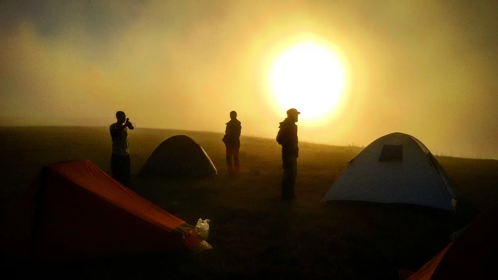
At Cânion do Funil, pointed towers cut across the horizon above the high-altitude grasslands of Bom Jardim da Serra. The hike reaches the lookout through an exposed landscape, where shifting light, cold air and the scale of the cliffs make stillness feel like a mountain experience.
🤔 Why does it matter?
An ecotourism alternative for travelers who want to go beyond the roadside lookout at Serra do Rio do Rastro and explore, with planning, an area of striking scenery. The visit brings travelers closer to the rural way of life and adventure tourism that define the Serra Catarinense.
📍 What to see
- The rock that inspires the name of the attraction, resembling an inverted funnel
- Steep canyon walls and rock towers
- Brazilian pines high-altitude grasslands and forests in the regional surroundings
- Panorama of the plateau and cities located at the foot of the mountain in good visibility conditions
🎒 Things to do
- Follow the trail to the main viewpoint
- Participate in a moderate level guided hike
- Photographing the landscape in the early hours of the day
- Combine the visit with Serra do Rio do Rastro
- Consult operators about ATV tours
✨ Recommended experiences
- Half a day of contemplation: leave Bom Jardim da Serra early, take the authorized route to the viewpoint and take time to observe the changes in fog and light.
- Hiking day: hire a guide, complete the mountain route at a safe pace and end the journey before the end of the afternoon.
- Mountain weekend: stay at the town center and combine the canyon with the Serra do Rio do Rastro viewpoint and winter cuisine.
🍽️ Local cuisine
🎭 Local culture
🌿 Nature nearby
🌎 Biomes
🏞️ Natural features
🐾 Possible animals in the area
🌱 Possible plants in the area
📅 Best time to visit
The visit can be made throughout the year, but it depends more on the visibility forecast and the property's conditions than on a fixed calendar. Autumn, winter and spring offer very different climates and landscapes.
- ✅ Best time:
- April to September, for those looking for cold weather, possible frosts and the typical mountain atmosphere; take adequate protection for low temperatures.
- 🟡 Shoulder season:
- October to March, when there are milder or warmer temperatures and other nature activities in the municipality can complement the itinerary.
- 🔴 Less recommended:
- Days with dense fog, persistent rain, strong winds or restrictions communicated by the person responsible for access.
- 📝 Notes:
- The city hall promotes local tourism in the four seasons. Before leaving, confirm the weather forecast, entry permit and rural trail conditions.
🧭 Getting there
🏙️ Base city: Bom Jardim da Serra
✈️ Airport: Aeroporto Regional de Jaguaruna – Humberto Ghizzo Bortoluzzi, in Jaguaruna
- Leave Bom Jardim da Serra towards SC-390, the highway that passes along the top of Serra do Rio do Rastro.
- The entrance is on private property on the side of the highway; obtain authorization and updated instructions before proceeding.
- The municipal government reports roughly 7 km (4.3 mi) of trail between the access point and the main lookout.
🚗 Local transportation
- Own vehicle or hired transport is the most practical way to get to the rural area.
- The final stretch must follow the instructions of the owner and the guide.
- Local operators offer guided walks and can organize adventure trips, including ATV travel.
ℹ️ Practical information
- 🏗️ Infraestrutura:
- Basic at the attraction and more complete at the town center
- 🏨 Hospedagem:
- Inns and rural accommodation are concentrated in Bom Jardim da Serra and surrounding areas.
- 🍴 Diet:
- Restaurants, cafes and mountain cuisine options are found at the town center; Bring a snack and water for the activity.
- 🧭 Guides and agencies:
- There are local ecotourism and adventure operators. Hiring a guide is recommended for the walk and necessary according to the private access rule.
- 📶 Internet and signal:
- Do not count on a stable connection in the trail area; download maps and essential information before departure.
- 💰 Estimated cost:
- A local operator's page advertised an access fee of R$75 per person, paid on site, and guided service starting at R$160 per person in a group. Transport, food and possible overnight stays are charged separately; confirm current prices before booking.
- 📝 Notes:
- No official visiting hours or public schedule for the owner were found. Entrance, camping and any commercial activity must be confirmed directly with the person in charge or with an accredited operator.
♿ Acessibilidade
Level: consult local operators
The route involves natural terrain, mountain hiking and exposure to the elements. A local operator reports having no facilities for people with disabilities.
- Request an up-to-date description of the distance, elevation gain and trail surface before booking.
- Do not assume that there is an adapted route or technical support at the viewpoint.
- Assess individual needs with a specialized operator.
⚠️ Safety
🚨 Real risks
- Canyon edges without guardrail
- Fog, wind and sudden drop in temperature
- Slippery or unstable ground after rain
- Orientation difficult in rural area with irregular signal
✅ Recommended care
- Respect gates, private areas and decisions of those responsible for access.
- Keep a safe distance from the edges and do not go beyond indicated observation points.
- Wear boots with grip, layered clothing and wind protection.
- Tell someone about the itinerary and prefer a guide for the first visit.
⛔ When to avoid: Delay departure if there is low visibility, storm, weather warning, road in poor condition or access suspension by the owner.
📝 Checklist — what to bring
- Hiking shoes with grippy sole
- Windproof jacket and thermal layers
- Water and snack for the expected duration
- Sunscreen and lip balm
- Beanie or hat and sunglasses
- Offline map, extra battery and waste bag
✈️ Travel tips
- Arrange clearance before leaving base city.
- Start early to allow for weather changes and complete your return with natural light.
- Do not stick to the itinerary solely on the forecast of open skies: fog can form quickly at altitude.
- Book two or three nights in the region if you want to explore other canyons and viewpoints without rushing.
💡 Curiosidades
- The Bom Jardim da Serra municipal government reports that the canyon stands at approximately 1,500 meters (4,921 ft).
- A French expedition opened the first roads at the site in 1998, a milestone cited by the municipal portal.
🤔 Did you know?
- On days with good visibility, the Municipal government records that part of Morro da Igreja can be seen from the canyon region.
- The municipality includes Cânion do Funil among the mountain attractions associated with ATV tours.
📜 History and context
The canyon takes its name from a large rock that resembles an inverted funnel. According to the Bom Jardim da Serra municipal government, it was the first canyon in the mountain region to have routes opened by a French team, in 1998. Visits take place on private land, making access permission an essential part of planning.
🌍 Global importance
On a local scale, Cânion do Funil embodies the escarpment landscape of the Serra Geral Catarinense and the coexistence of high-altitude grasslands, Brazilian-pine forests and rural activities. Its greatest interest lies in its distinctive regional scenery and its potential for responsibly managed, low-impact visitation.
🗺️ Quick map (orientation)
📌 Main base: Center Bom Jardim da Serra
🧭 Landmarks
📍 Nearby places
Pequenas descobertas
- Santa Catarina
- State in the southern region of Brazil, famous for Serra Catarinense and the fields of Brazilian pines.
- Serra do Rio do Rastro
- Mountain crossed by the SC-390 highway, known for viewpoints facing cliffs and valleys.
- Araucárias
- Forest formation with Araucaria angustifolia, typical of southern Brazil.
- Aparados da Serra
- Set of cliffs and canyons on the eastern edge of Planalto Sul-Brasileiro.
- SC-390
- State highway that winds through Serra do Rio do Rastro, with sharp curves, steep gradients and access to viewpoints.
- Carne de panela
- Slowly cooked or roasted meat, typical of Southern cuisine.
- Pinhão
- Seed of Brazilian pine, a striking ingredient of winter cuisine in Serra Catarinense.
- Propriedade particular
- Area with owner, subject to authorization, rules and possible charges for visiting or camping.
- Subestação da Celesc
- A logistical reference near the traditional trail access, associated with Santa Catarina’s electric utility.
- Navegação off-line
- Use of an application, map or compass without relying on an internet connection for basic orientation.