Brazilian vegetation · plant formation
Mangrove
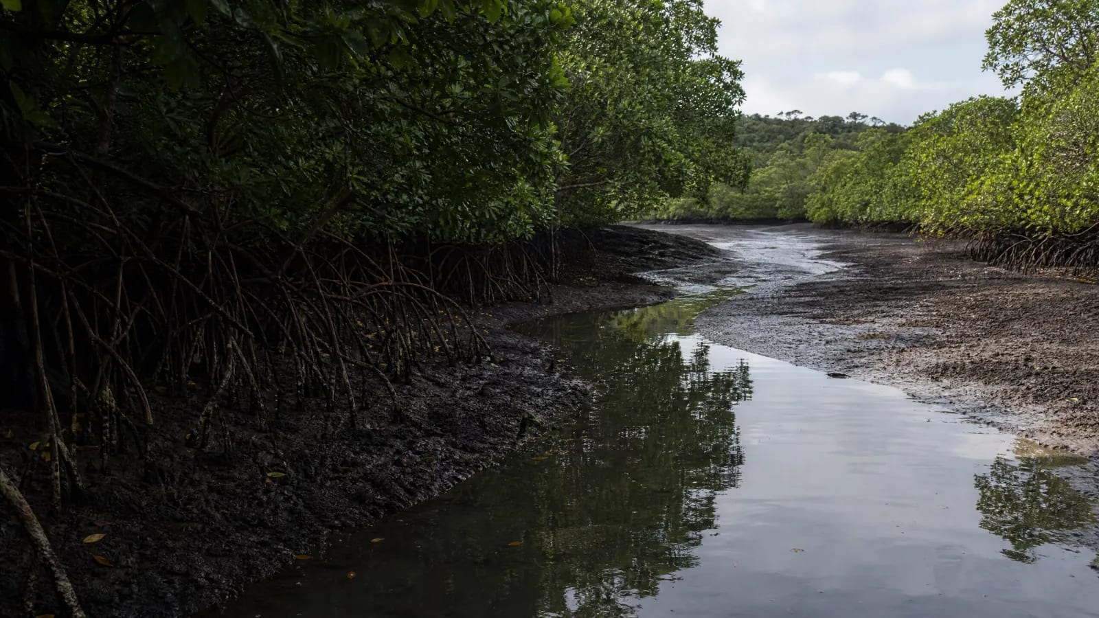
Before it becomes a line on a map, the mangrove is a movement: the tide comes in, the river responds, and the mud holds leaves, roots, and small traces. Where fresh and salt water meet, the landscape seems still only to those who do not stay. 1
I · Recognition
Before it becomes a backdrop, it is already life.
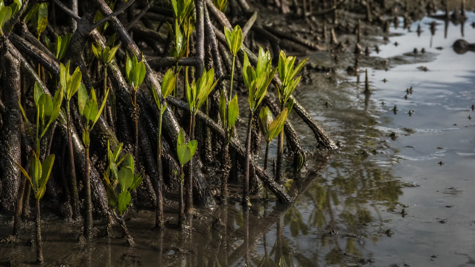
Stilt roots of Rhizophora mangle draw arcs; pneumatophores of Avicennia raise small breaths from the mud. Among leaves, trunks, and shallow water, many species find places for reproduction, shelter, and nursery grounds. Diversity lies not only in what can be seen, but in the sequence of tides that makes the place habitable. 3
II · Water and rhythm
Here, water is both clock and architecture. The tide rearranges sediments; the river dilutes, carries, and deposits; vegetation slows currents and retains organic matter. Blocking channels, filling edges, or altering river flow does not remove only a tree: it changes the connections that sustain the estuary. 1 4
III · Work and territory
No formation exists outside human choices.
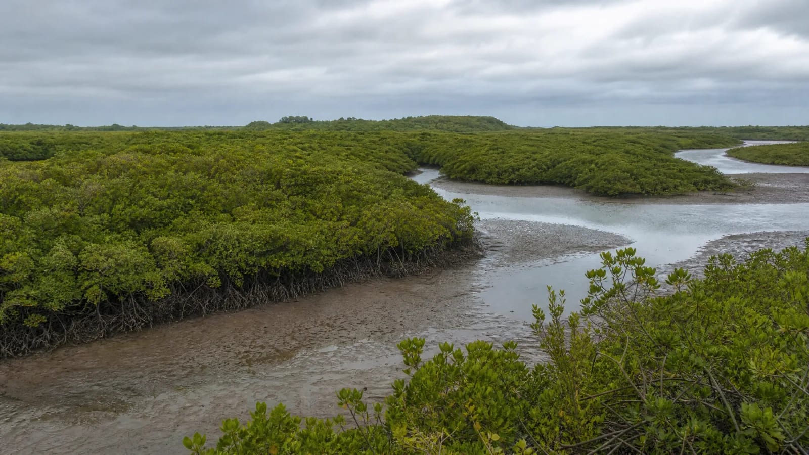
The mangrove is also pantry and livelihood. Artisanal fishing and crab gathering connect food, income, memory, and close reading of the tides for riverside and traditional communities. This dependence is neither uniform nor abstract: it takes place in concrete locations, under local rules, seasons, and catch limits. 3
Protection means keeping the forest and its waters connected: regulating occupation, monitoring discharges, conserving protected areas, and restoring hydrological connections. Brazilian regulation recognizes the mangrove as a Permanent Preservation Area; on the ground, however, the existence of a rule does not replace monitoring, licensing, and daily care. 5
IV · The connection we forget
The territory remains present after the product leaves the scene.
In a northeastern estuary, the opening of shrimp ponds can turn mangrove edges into productive infrastructure; when poorly managed, their effluents reach the aquatic system and are associated with losses in productivity, stored carbon, estuarine filtration, and species used for subsistence. The chain is material, but the case must be investigated locally: which works, licenses, flows, and treatment measures explain what changed—and who is monitoring the recovery? 4 5
Observe: the tide rising among the roots. Look for: a ditch, a pond, a blocked channel, a crab, an urbanized edge. Ask: which connection was maintained, which was displaced, and what evidence allows us to say so? The image should begin with beauty and end with a verifiable hypothesis.
V · Precision
Criticism matters only when it respects the evidence.
Do not confuse the mangrove with the entire coast, nor protection with inviolability. There are traditional uses, urban areas, conservation units, and distinct economic activities; every claim must remain tied to the estuary, the source, and the observed scale.
To look at this formation is also to learn not to simplify it.
When the water recedes, patterns of roots and small mirrors remain. The mangrove does not ask for a landscape without human presence; it asks that presence to recognize its dependence on the tide, the river, and the mud—and choose not to break the circuit that sustains it.