Vegetation of Brazil · plant formation
Fluvial and lacustrine vegetation
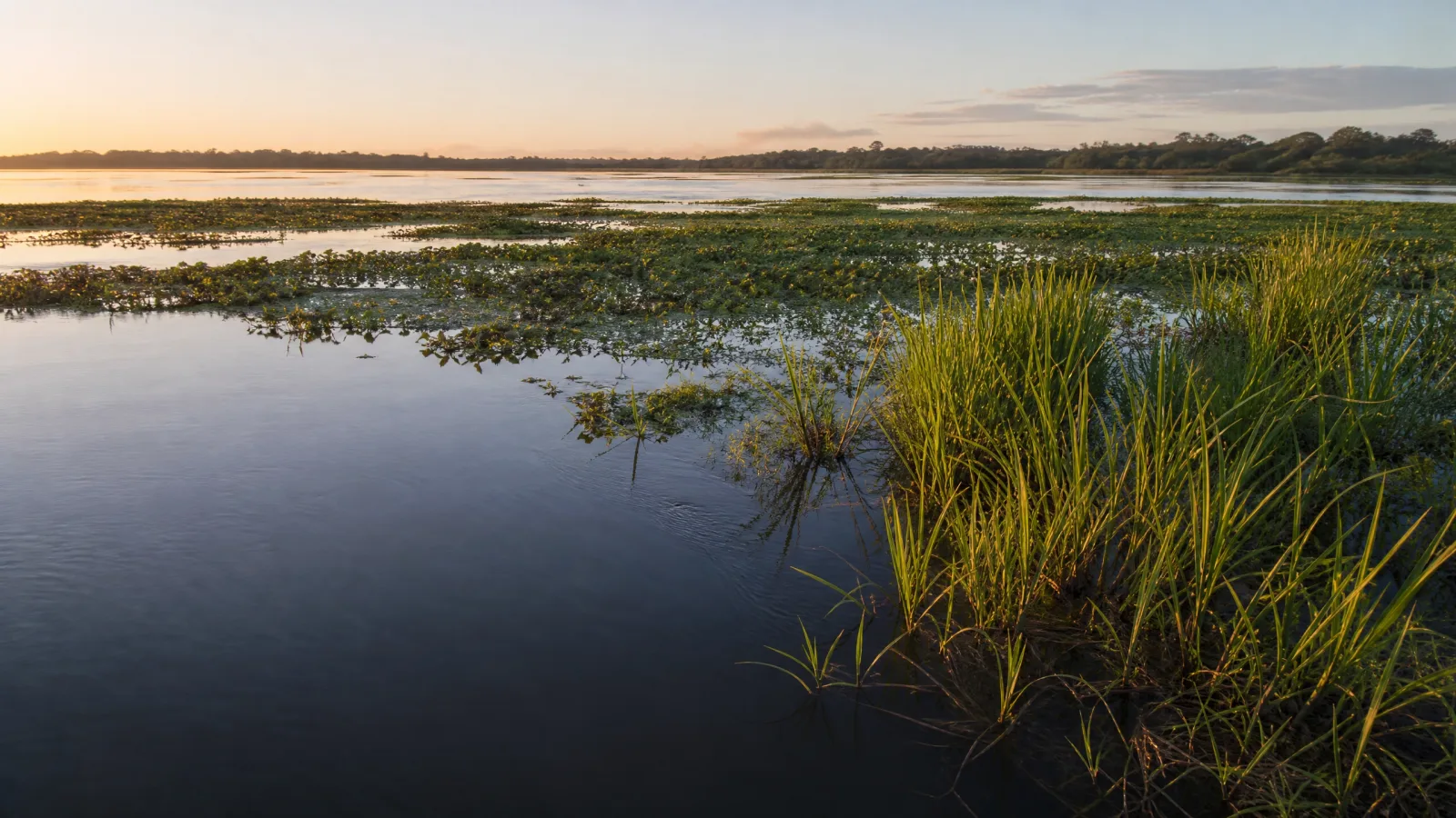
Water arrives first as a glimmer: a shifting band among roots, grasses, and leaves that learn to breathe with waterlogged ground. Along rivers, lagoons, floodplains, and marshes, the landscape is neither bank nor mirror, but a living passage between solid ground and flowing water. 1 2
The shape of the landscape matters.
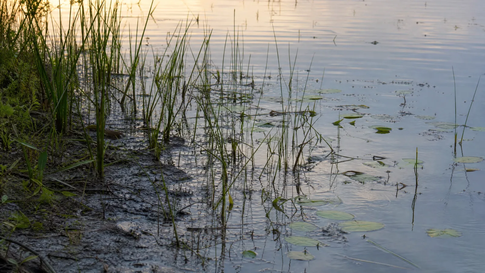
Walk along the edge as the water level falls. The mud preserves flood lines, seeds caught in the leaf litter, and small channels that still return the sky. At every bend, the vegetation changes because the hydroperiod — the duration, frequency, and depth of water — writes a different architecture.
I · Recognition
Before becoming a backdrop, it is already life.
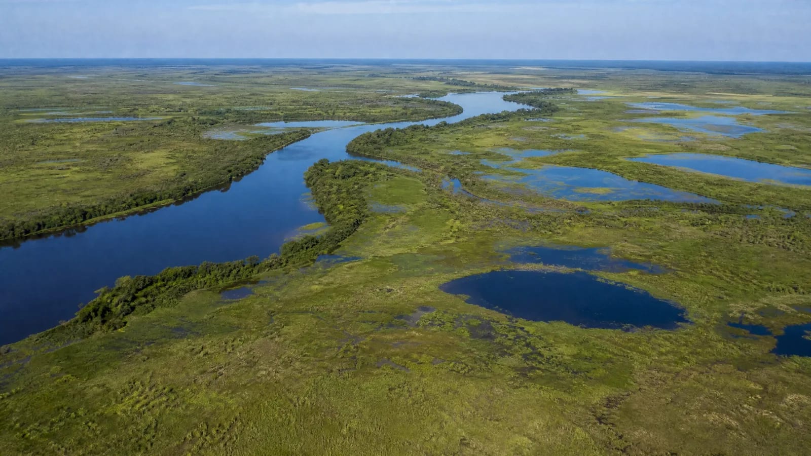
Here, “fluvial and lacustrine” does not name a single scene. There may be riparian forest shading a watercourse, open floodable grassland, macrophytes floating on the surface, or shrubs on the floodplain. The IBGE system groups these communities among the Pioneer Formations (Formações Pioneiras), favored by cyclical disturbances. 1
II · Water and rhythm
Water transports, deposits, and rearranges. Trunks and roots slow the flow; leaves, banks, and sediments become shelter, food, and filters. In a São Paulo micro-watershed, riparian zones with permanent or temporary saturation occupied 24.9% of the area studied — a reminder that the map of water exceeds the outline of the channel. 3
III · Work and territory
No formation exists outside human choices.
Fishing, rice cultivation, livestock raising in suitable areas, gathering, transport, recreation, and tourism may depend on these rhythms. There is no abstract use: there are planting, crossing, harvesting, and travel calendars adjusted to the flood and ebb. The landscape works while sustaining work.
A continuous bank is not merely a beautiful green strip. Embrapa documents that riparian forest protects soil and embankments, reduces the entry of sediments and inputs into the waterbody, and offers shelter and food to wildlife. 4 To preserve, restore, or occupy each stretch is to decide how much hydrological connectivity will remain available.
IV · The forgotten connection
The territory remains present after the product leaves the scene.
Consider a crop planted beside a watercourse: removing ground cover may open productive space, but runoff carries soil and nutrients into the water; the bank loses stability, sedimentation accumulates, and the channel changes. The chain is verifiable in studies and technical guidance, but varies with soil, rainfall, and management. The question remains: what production design allows harvesting without turning the next flood into an invisible bill?
Observe: water-level marks on trunks, exposed roots, turbid water, deposition areas, and stretches of continuous bank. Ask: where does the floodplain begin, who depends on it, and which season changes access? Avoid: confusing still water with an absence of life, or an altered bank with a complete diagnosis. The setting demands scale, time, and attentive listening.
V · Precision
Criticism matters only when it respects the evidence.
The formation occurs across many biomes; therefore, no photograph or local rule represents the whole. Pressures such as deforestation, mining, sand extraction, construction, pollution, and changes in flow may combine in different ways. Precision lies in naming the stretch, period, and evidence — not in promising a conflict-free landscape.
To look at this formation is also to learn not to simplify it.
When the water recedes, the vegetation does not disappear: its position, texture, and function change. What seemed to be a bank reveals an entire transition zone. Following this pulse is to see that conservation does not mean freezing the landscape, but keeping open the relationships that allow river, lagoon, soil, wildlife, and people to continue meeting.